Like Google Earth But Better
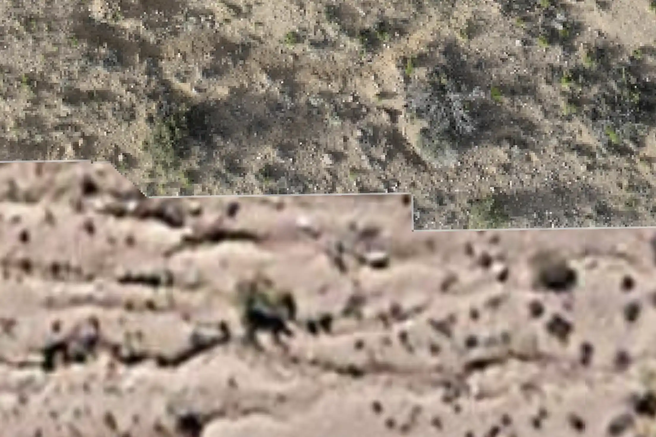
Our images provide accurate, up-to-date, true-to-scale representations of the Earth's surface, unlike satellite images that can be months or years old.

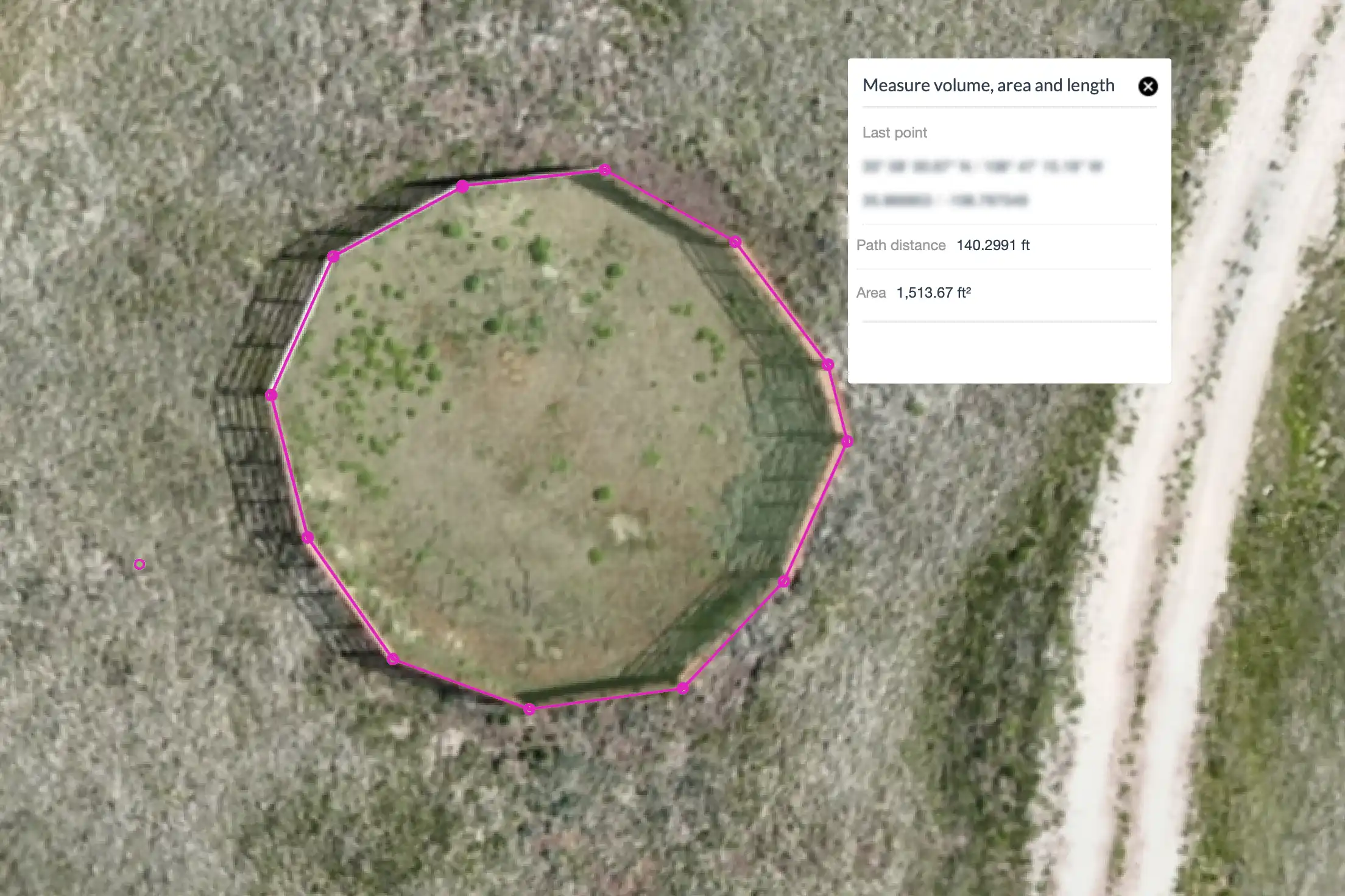
Calculate Area/Volume with Ease
Our detailed maps provide the precision needed for accurate measurements.
Applications of Orthomosaics
Agriculture
- Crop Health Monitoring
- Yield Estimation
- Irrigation Planning
Construction Site
Monitoring
- Progress Tracking
- Resource Management
- Safety Compliance
Urban Planning
and Development
- Land Use Planning
- Zoning Analysis
- 3D Modeling for City Development
Disaster Response
and Management
- Rapid Assessment
- Planning Recovery Efforts
- Monitoring Recovery Progress
Mining and Quarrying
- Volume Calculations
- Site Planning
- Safety Inspections
What is an Orthomosaic?

An orthomosaic map, or "ortho," is a single, geometrically corrected image created by combining many photos. Using the drone's GPS, we capture geo-referenced imagery. Our software then merges hundreds or thousands of high-resolution images to create a precise orthomosaic map.
Orthomosaics are high-resolution, geometrically corrected aerial images created by stitching together thousands of drone photos. These images are accurate, uniform, and provide a true-to-scale representation of the Earth's surface, making them invaluable for various applications.
Calculate Area/Volume with Ease
Our detailed maps provide the precision needed for accurate measurements, including stockpile volumes and roof dimensions for repairs or solar panel installations.
With map resolutions up to 0.7 inches per pixel, you'll see individual blades of grass poking through cracks in a parking lot. This level of detail and precision over a large area is made possible by specialized mapping technology.
