
We fly and process drone data so your crews can focus on the survey work only you can do. You get orthomosaics, contours, TIN surfaces, and related deliverables on your timeline—without pulling field teams off higher-priority jobs.
Work with a dedicated UAS and photogrammetry subcontractor: fast turnaround, coordinate systems and control to your specs, and real project examples you can evaluate for yourself.
View portfolio →
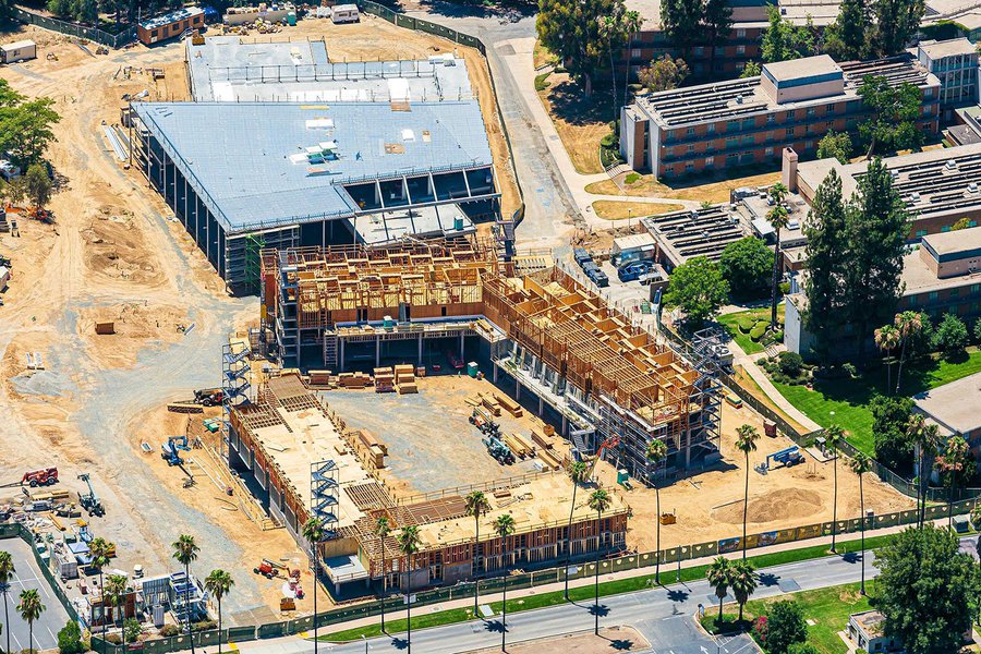
Progress and marketing photos offer visual documentation and promotional material that enhance project transparency, stakeholder communication, and business visibility.
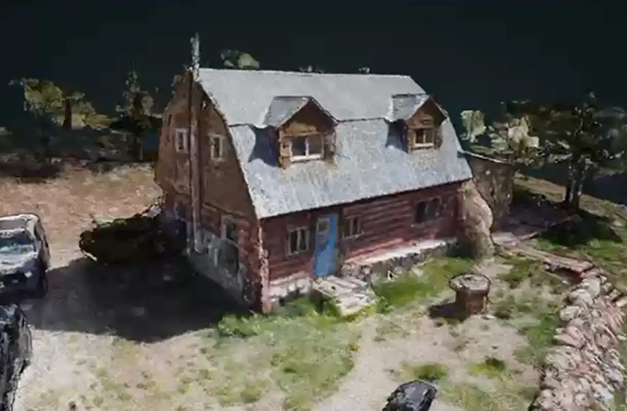
3D models provide accurate, real-time visualizations that enhance planning, monitoring, and decision-making for construction managers, security professionals, and more.

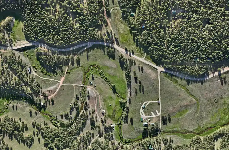
Scheduled drone flights with comparison to your last visit—PDF summaries in cubic yards, heatmaps of change, and per-area metrics for cells or zones you care about.
Learn more →
